Restoring a natural balance in the marine environment
The no-take zones (ZNPs) in numbers
Although fishing is still authorised in around 90% of the Calanques National Park's core marine area, 10% of the marine territory is classified as no-take zones, or ZNPs. The ZNP perimeter represents 4,634 hectares out of the 43,500 hectares of the National Park's core marine area.
Seven ZNPs were thus defined at the time of the creation of the National Park within its core marine area, where any kind of fishing is permanently prohibited, whether professional or leisure fishing.
Buoys and GPS points
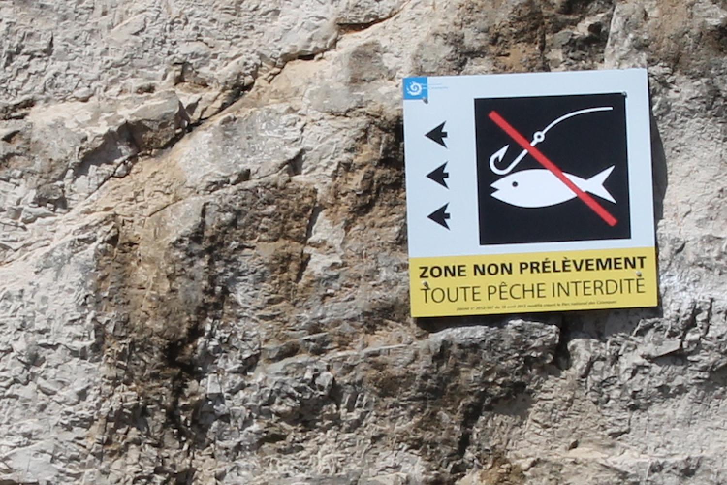
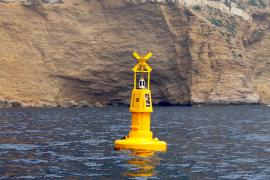
In response to requests from many fishermen, but also to facilitate monitoring missions, the National Park has visually marked the ends of no-take zones by having the Mediterranean Lighthouse and Beacon Service install special permanent marker buoys at sea. The first were installed in 2014 in three priority ZNPs: Cap Soubeyran, Sormiou and Planier. They were then complemented by land-based signs for the coastal areas of Riou, Sormiou, Devenson, Cacau and the Soubeyran cliffs.
Given the numerous natural, regulatory and safety constraints specific to the marine area (e.g. the great depths of the Cassidaigne West ZNP), some ZNPs have not been marked with buoys. However, for these zones, the GPS points are communicated by the National Park on its website, in brochures and through information provided to professional or leisure organisations, in order to enable fishermen to find their way around at sea and to respect the regulations.
The "reserve" effect
No-take zones perpetuate this desire to strengthen marine biodiversity and fish resources, with the indirect objective of guaranteeing the sustainability of local small-scale professional fishing. They enable a vigorous marine ecosystem to be restored in a defined and monitored area, where the natural balance is re-established in terms of size and diversity of species.
The size of these areas, in which fish and invertebrates benefit from increased protection, allows them to grow better, to multiply within these refuge areas and to feed the marine areas that can be fished. This positive effect of ZNPs also spreads to adjacent areas, indirectly contributing to the preservation of fisheries resources.
In order to monitor the effectiveness of these management measures, the National Park began biological monitoring in 2014, based in particular on fisheries, conducted in collaboration with professionals.
From the past to the present
The Marseille bay has the largest area of "no take" zones in the Mediterranean. This coastline, already largely destroyed by the first trawls in the 19th century, saw the creation of the Endoume block in 1894, the first integral reserve designed by Paul Gourret and fishermen. Insufficiently protected, this first zone quickly disappeared.
Today, combined with operational surveillance, no-take zones are the best fishing conservation tools.
Online resources
Main nautical regulations brochure (in French)
Interactive map of signage and regulations at sea
GPS coordinates of no-take zones (ZNP) and reinforced protection areas (ZPR)
Download the GPS file of ZNPs and ZPRs (GPX format with ZIP compression)


 Video
Video Links
Links