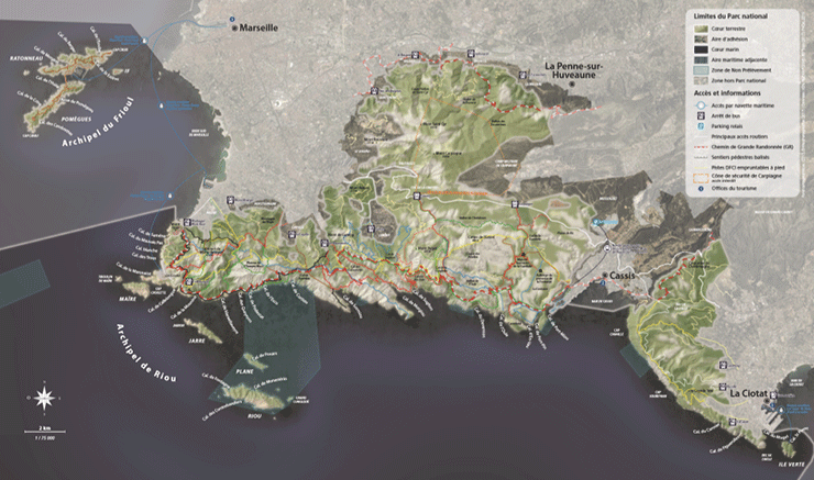
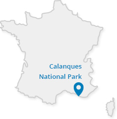
General presentation map of the Calanques National Park (2 MB)
Detail map of the Frioul Archipelago (17 MB)
Detail map of the Riou Archipelago (16 MB)
Detail map of the Massif de Marseilleveyre (Les Goudes, Callelongue, Marseilleveyre) (10 MB)
Detail map of the Campus de Luminy (Sormiou, Morgiou, Sugiton) (10 MB)
Detail map of the Route de la Gineste (Mont Puget, La Gardiole state-owned forest) (9 MB)
Detail map of the Col de la Gardiole (La Gardiole state-owned forest, En-Vau, Port-Pin) (9 MB)
Detail map of the Cap Canaille (Baie de Cassis, Figuerolles, Mugel) (10 MB)
Marine maps
Maps related to the decree for the creation of the National Park
Interactive maps
Maps on mobile apps
Hiking trails and restricted areas on Mes Calanques, the National Park's official app
IGN maps and topoguides
IGN map from Les Calanques de Marseille to La Ciotat
IGN map of the Cassis and La Ciotat area, and the eastern section of the Massif de Saint-Cyr
 Other online maps
Géoportail: to access geographical reference information: maps, aerial photographs, geographical databases.
IGN – Go back in time: in a few clicks, visualise and compare maps and aerial photos from a vast catalogue of reference data.


